
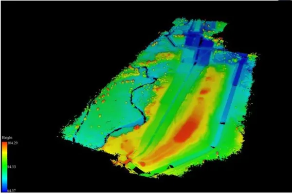
Statics and dynamic measurement with LiDAR technology, can help users in calculating the volume of stockpile automatically
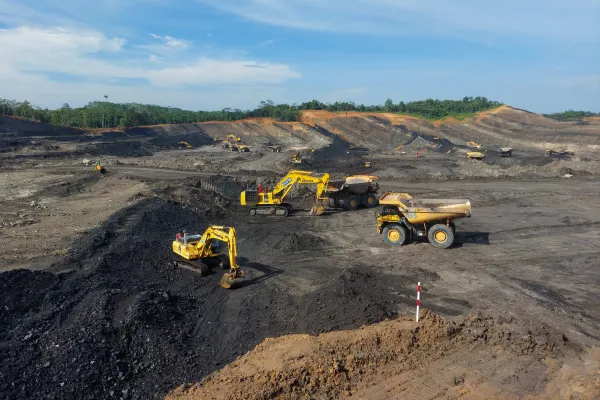
High precision guidance for dozers, drills, and loading equipment, improving bench elevations, reducing dilution and decreasing rework. Can use for monitoring plan & cost estimation with spatial data integration for heavy equipment.
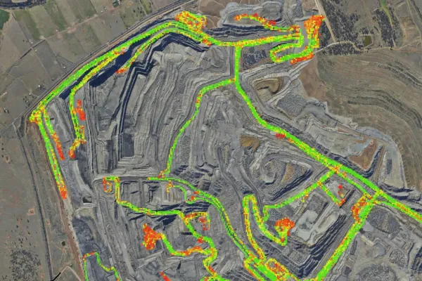
Analyzing the condition of haul roads to reduce obstacles and disturbances that can affect transportation operations, with good road conditions increasing the efficiency and effectiveness of transportation equipment in safe conditions